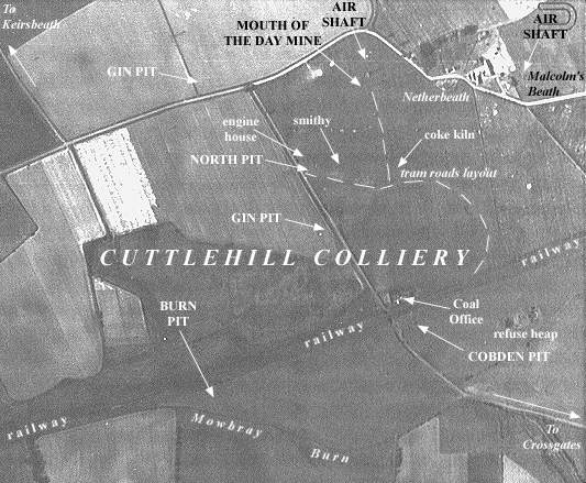
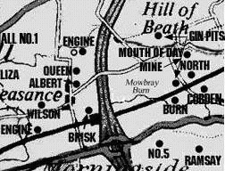
The Mouth of the Day Mine at Cuttlehill, to the Lochgelly Parrot or Lower Eight Feet Coal, was just to the north-east of the location of the North Pit. Probably driven around 1830-40, it is featured on the OS map of 1856 with a tram road running southwards to join with the system linking to the main Dunfermline-Cowdenbeath railway which separated the Burn and Cobden Pits, to the south, from this mine and the North and Gin Pits of the Cuttlehill coalfield, to the north of the railway.
 |
 |
Click on Aerial View or Map to
Zoom In
| See Cuttlehill Colliery entry for general information. |
|---|
Can do with help on this old mine.
