Owners: not known
 |
 |
 |
Some information on coals worked at, or near, the Harran Hill bell-pits and mines
(based on a report from 1934)
| Description | Thickness |
| Sandstone | - |
| Coal } UPPER | 2 ft. 4 in. |
| Stone } JERSEY | 1 in. |
| Coal } COAL | 8 in. |
| Fireclay | 9 in. |
| Sandstone and fakes | 1 ft. 6 in. |
| IRONSTONE | 4 in. |
| LOWER JERSEY COAL | 3 ft. 4 in. |
| Stone | 1 in. |
| COAL | 2 ft. 7 in. |
| Fireclay | 4 in. |
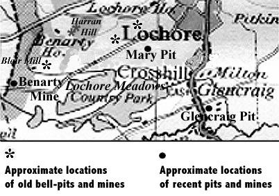
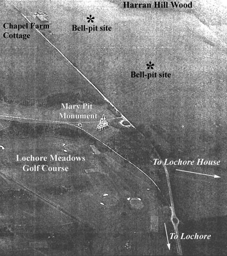
We were delighted when 'pithunter' Pete McKenna contacted us with information on the two early drift mines driven into the hillside on Harran Hill, just a few hundred yards to the north of the Mary No. 2 headgear monument and on the north side of Pit Road.
An archaeological team from RCAHMS, in September 1991, noted that the mouth of the upper mine comprised a short trench, with subsidence pits extending up the slope and a crowsfoot spoil tip downslope. The spoil tip was described as being scarred with coal-picking pits. The mouth of the lower mine was very similar with a trench driven into the slope with subsidence pits extending up the slope to the N and NW. One of the pits to the WNW had some upcast and may, in fact, have been a bell-pit. The fenced area to the south-east encloses the spoil tip, and there there is a built track running up its east side. Two subsidence pits lie to the west of the spoil tip.
Even more interesting is Pete's excellent set of photographs and accounts of the two bell-pit sites in Harran Hill Wood which he searched for and 'discovered' in 2010 while on a short holiday break in the Benarty area. Pete says, "Conveniently, at either end of the Harran Hill track are information boards with the two pits marked on. ... The path from the Lochore House track comes out of the trees and skirts a field at the summit; there's a welcome seat there. You look over to the trees surrounding Benarty House, and just downslope are the two pits."
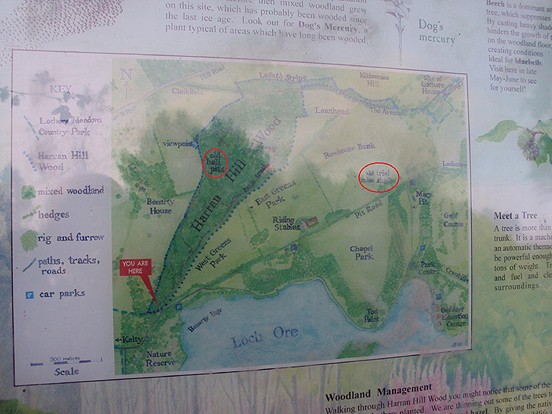 |
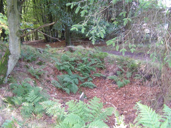
The two bell pits are located on the crest of Harran Hill, immediately within the edge of Harran Hill Wood. One is described as measuring 10m in diameter and 3m in depth, with a platform of spoil on its east side; the other, which is considerably smaller, lies about 15m to the north-north-east.
 |
 |
[Above] Pete McKenna's photographs of the larger bell-pit, Harran
Hill Wood.
[Below] The smaller bell-pit, Harran Hill Wood.
 |
 |
